2020 Atlantic hurricane season is running out of names, so what happens next?
With a number of weeks left in the 2020 Atlantic hurricane season and only one name left on the official storm name list, the National Hurricane Center explains what happens next.
A newly formed tropical storm on Monday was growing stronger in the warm waters of the Caribbean and could make landfall later this week as a hurricane somewhere along the storm-battered Gulf Coast, according to forecasters.
The National Hurricane Center (NHC) in Miami said Monday morning Tropical Storm Delta is located about 130 miles south of Negril, Jamaica, with maximum sustained winds of 40 mph as it moves west-northwest at 9 mph.
“Additional strengthening is likely and the system is expected to be at or near hurricane strength when it pass near or over western Cuba late Tuesday or early Wednesday,” the NHC said.
HURRICANE CENTER ‘CLOSELY MONITORING’ TROPICAL WAVE IN CARIBBEAN, COULD DEVELOP INTO ‘DELTA’
Currently located south of Jamaica, this system is expected to move into the Gulf of Mexico on Wednesday where it will strengthen into a hurricane.

Tropical Storm Delta is gathering strength over the Caribbean Sea on Monday, Oct. 5, 2020. (NOAA/GOES-East)
Tropical storm warnings have been posted for the Cayman Islands, while a hurricane watch has been issued for western portions of Cuba.
Gusty winds, a storm surge of up to 5 feet, and up to 8 inches of rain is possible across western Cuba and Jamaica, which could lead to flash floods and mudslides.
The current forecast track from the NHC brings the storm as a hurricane into the Gulf of Mexico, with landfall between Louisiana and the Florida Panhandle on Friday as a Category 2 hurricane.
HOW STRONG CAN HURRICANES GET? HERE’S A BREAKDOWN OF CATEGORIES AND THE SAFFIR-SIMPSON WIND SCALE
“While there is large uncertainty in the track and intensity forecasts at these time ranges, there is a risk of dangerous storm surge, wind, and rainfall hazards along the coast from Louisiana to the western Florida Panhandle,” the NHC said late Sunday.
“Residents in these areas should monitor the progress of the system and check for updates to the forecast during the week,” forecasters continued.
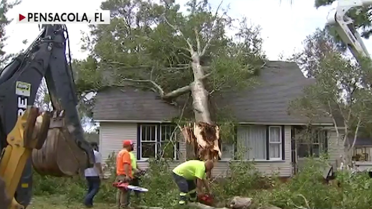
Residents who are still cleaning up from Hurricane Sally’s impacts on the Gulf are worried about the impacts of yet another storm system. Peter Brown of Daphne, Ala., told WPMI-TV he still has damage to his home after a tree fell on it during Hurricane Sally.
“The way my situation is here right now with my storm damage, that carport ain’t nothing but an umbrella. And as soon as that wind comes in, it will blow right out of there,” Brown told WPMI-TV.
CLICK HERE FOR MORE WEATHER COVERAGE FROM FOX NEWS
The National Weather Service (NWS) forecast office in New Orleans advised that “everyone” along the northern Gulf Coast would start preparing for possible tropical impacts.
Delta is the 25th named storm in the 2020 Atlantic hurricane season, setting yet another record. The previous record for the earliest 25th Atlantic named storm is Nov. 15, 2005, according to Colorado State University hurricane research scientist Phil Klotzbach.
NOAA forecasters have called for up to 25 named storms this season with winds of 39 mph or higher; of those, seven to 10 could become hurricanes. Among those hurricanes, three to six will be major, classified as Category 3, 4 and 5 with winds of 111 mph or higher.
That’s far above an average year. Based on 1981-to-2010 data, that is 12 named storms, six hurricanes, and three major hurricanes.
CLICK HERE FOR THE FOX NEWS APP
So far this year, there have been 25 named storms, including eight hurricanes and of those, two major hurricanes.
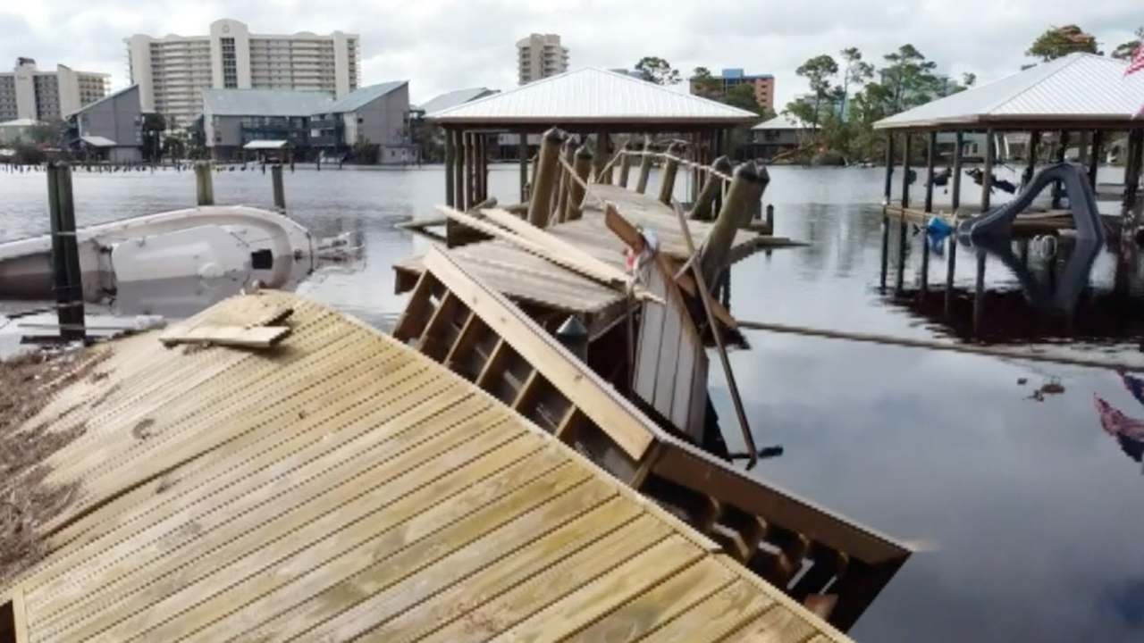
Laura caused major damage across southwestern Louisiana and southeastern Texas after roaring ashore as a Category 4 storm. Hurricane Sally made landfall last month in coastal Alabama, bringing damaging impacts along the Gulf Coast into Florida’s Panhandle region.
The last time the Greek alphabet was used in the Atlantic was in 2005, the year of Hurricane Katrina. With a total of 27 storms that year, the first six letters of the Greek alphabet were used: Alpha, Beta, Gamma, Delta, Epsilon, and Zeta.
With weeks to go until the season officially ends, the 2020 season could set the record for most named storms.
Fox News’ Janice Dean and Brandon Noriega contributed to this report.
>>>details


