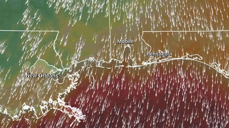
Strong winds are leading to abnormally low water levels in areas of Mobile Bay, Alabama.
Stephen Miller, meteorologist for the National Weather Service (NWS) in Mobile, explains that strong north winds at the time of low tide are to blame.
“The fact that you have strong flow right now, that’s basically the cause,” Miller says.
A wind advisory is in place for four states along the Gulf Coast, including Alabama. Winds of 15 -25 mph are expected, with gusts up to 40 mph.
Water levels Thursday morning for Mobile State Docks reached a low at one point of -1.38 feet. The all-time low for that location is -2.84 feet back on January 20, 1985.
The low water levels themselves are not uncommon.
“Low water like this happens every few weeks in the winter with a strong north wind,” explained Coast Guard Lt. j.g. Trevor Vallet.
What makes this event interesting is not just the fact that it was a strong wind, but that it came from the north. Having a north wind effectively pushes all the water out to sea.
There’s also another factor — astronomical low tides thanks to the recent full moon. So if that water is already at low levels to begin with, when you add in a northerly wind, it can effectively create the appearance that the water is “removed” from some spots, as the tweets below show.
The first was taken Thursday morning, after low tide and the cold front swept through, effectively changing the wind direction to be northerly.
The second image is from the day before, showing much higher water levels.
This can also happen during the Atlantic hurricane season when strong tropical systems move along the coast.
In September of 2020, after Hurricane Sally made landfall, strong northerly winds also pushed water out of Mobile Bay. At the United States Coast Guard (USCG) base, there is a National Oceanic and Atmospheric Administration (NOAA) tide station that saw the lowest water levels ever recorded at this station, a full seven feet below normal low tide.
While these strong northerly winds may trigger interesting images of the water along the coast, they can also be dangerous. The NWS in Mobile is warning of rip currents and other marine threats throughout Thursday associated with these strong winds. Mariners should change their plans to avoid these hazardous conditions. The NWS in Mobile recommends remaining in port, alter course and/or secure the vessel for severe conditions.
>>>>